How Long Is The Ho Chi Minh Trail? Length, Route & History


Curious about how long is the Ho Chi Minh Trail and whether it’s still possible to explore it today? The answer goes beyond a simple number. This legendary network stretches across thousands of kilometers, cutting through jungles, mountains, and borders, making it one of the most thrilling routes in Southeast Asia. For travelers seeking real adventure, the trail has transformed into a bucket-list journey, especially through motorcycle adventure tours with Indochina Adventure, where every mile reveals history, raw landscapes and unforgettable riding experiences.
How long is the Ho Chi Minh Trail?
At its peak of operation, the total network of the Ho Chi Minh Trail spanned approximately 16,000 to 20,000 kilometers (roughly 10,000 to 12,400 miles). If you look at the modern Ho Chi Minh Road that travelers ride today, the main North-South axis covers about 2,000 kilometers within Vietnam’s borders. However, for those booking a Ho Chi Minh Trail tour, the distance varies wildly depending on whether you stick to the paved highways or dive into the hidden jungle tracks in Laos and Cambodia.
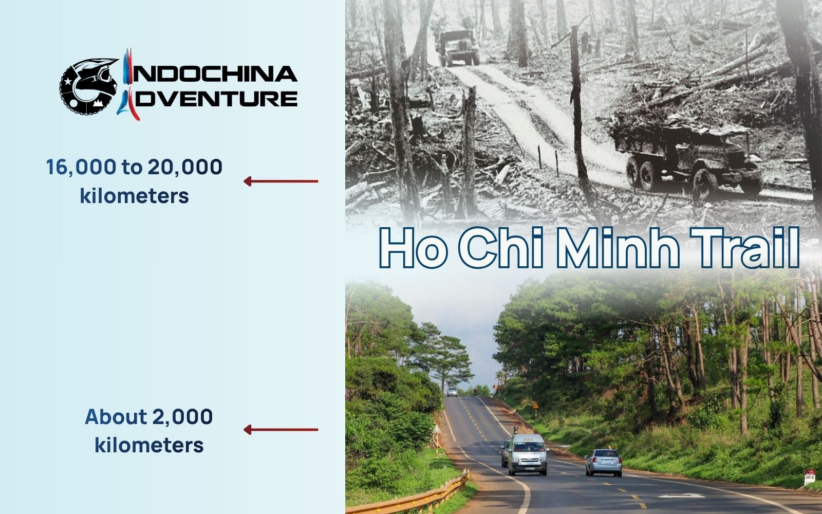
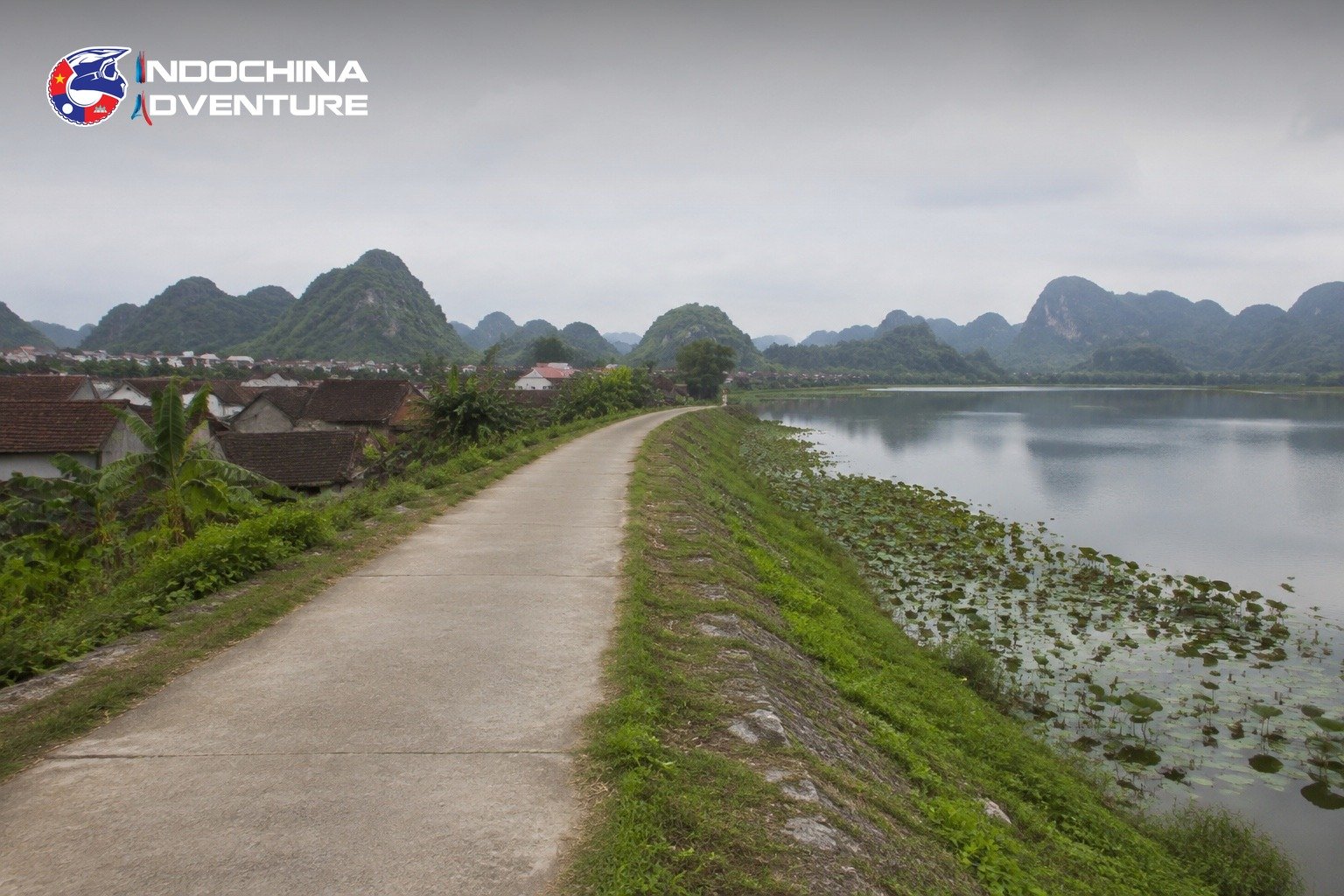
Discover how long is the Ho Chi Minh Trail through epic landscapes
Pinning down a single, definitive figure is nearly impossible because the Trail was never just one road. It functioned as a complex, ever-shifting “logistical labyrinth” rather than a linear path. When US forces bombed one section, Vietnamese engineers immediately carved out several new bypasses nearby. The network consisted of five main longitudinal roads, 21 transverse roads and thousands of kilometers of hidden footpaths and river routes. Because the trail constantly expanded and shifted to evade detection, its total length remained a moving target throughout the entire conflict.
Overview and history
The Ho Chi Minh Trail emerged in 1959 as a secret strategic supply route to connect North and South Vietnam. Originally managed by the legendary Group 559, it started as a series of primitive trekking paths used by porters to carry supplies on their backs or modified bicycles. Over time, this network transformed into a sophisticated military infrastructure with underground hospitals, fuel pipelines, and storage depots, eventually reaching a staggering total ho chi minh Trail length of nearly 20,000 kilometers.
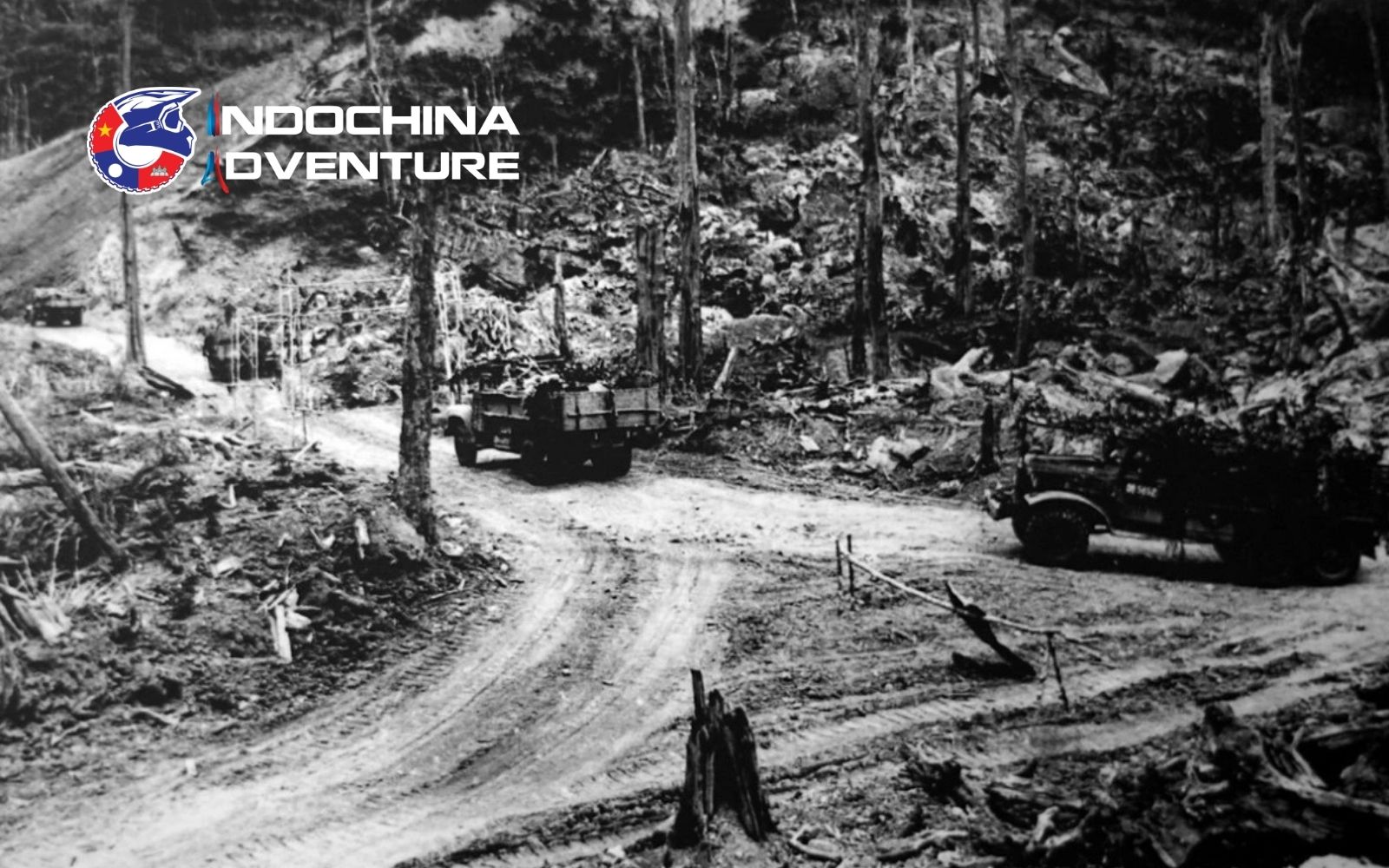
Vintage photos reveal the sheer scale of the original ho chi minh Trail length during wartime
Today, while the modern Ho Chi Minh Road offers smooth tarmac for travelers, many wonder: is Ho Chi Minh Trail dangerous? Historically, it was the most heavily bombed place on Earth, and that legacy persists today through unexploded ordnance still hidden in the deep jungles. While the paved routes are perfectly safe for a ride, the historical history of the trail serves as a powerful reminder of the resilience of the people who maintained this “Bloodline of the Nation” against impossible odds.
Where did the Ho Chi Minh Trail run?
The Ho Chi Minh Trail stretched across a vast and complex corridor in Southeast Asia, forming a multi-country network rather than a single route. Its scale and constant expansion are key reasons why the length of Ho Chi Minh Trail remains difficult to define precisely.
Countries the trail passed through:
- Vietnam
- Laos
- Cambodia
Start and end points of the Ho Chi Minh Trail:
- Starting area: Northern Vietnam, near the Red River Delta and regions south of Hanoi
- Ending area: Southern Vietnam, leading toward today’s Ho Chi Minh City
The system connected key logistical zones rather than fixed endpoints, with multiple entry and exit routes.
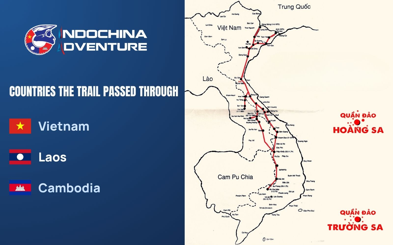
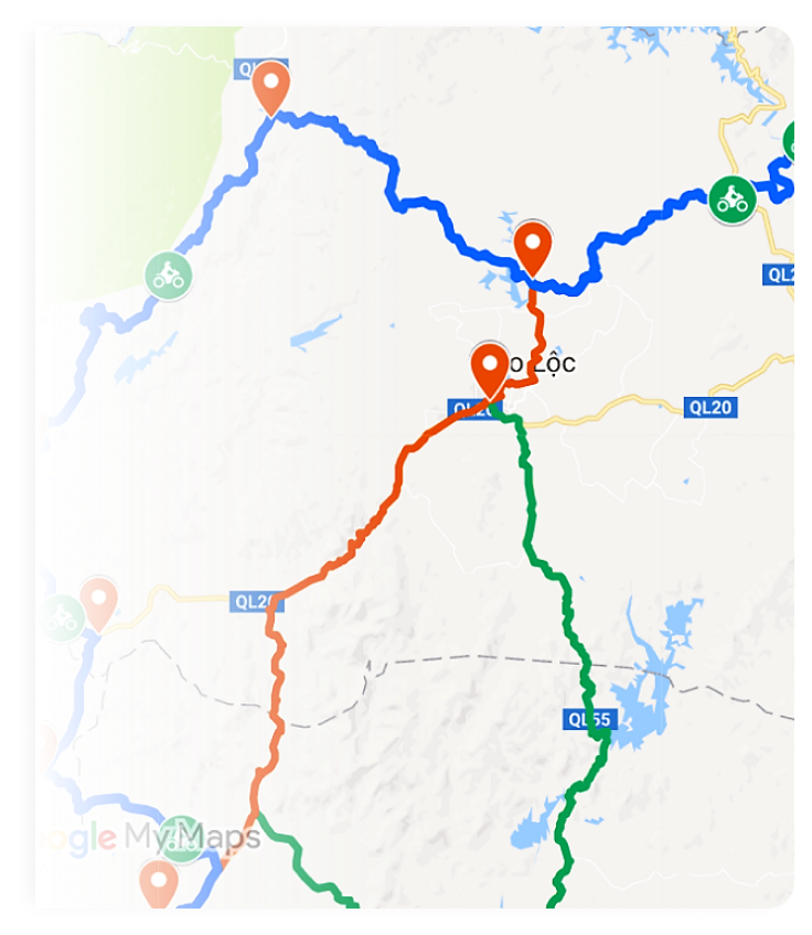
A map showing the complex network and just how long was the Ho Chi Minh Trail
Terrain and route characteristics:
- Mountain ranges: The Annamite (Truong Son) Mountains formed the backbone of the trail
- Dense jungle: Thick forest canopy helped conceal movement
- River crossings: Numerous streams and rivers required constant adaptation
- Remote borderlands: Many sections ran along or across international borders for strategic cover
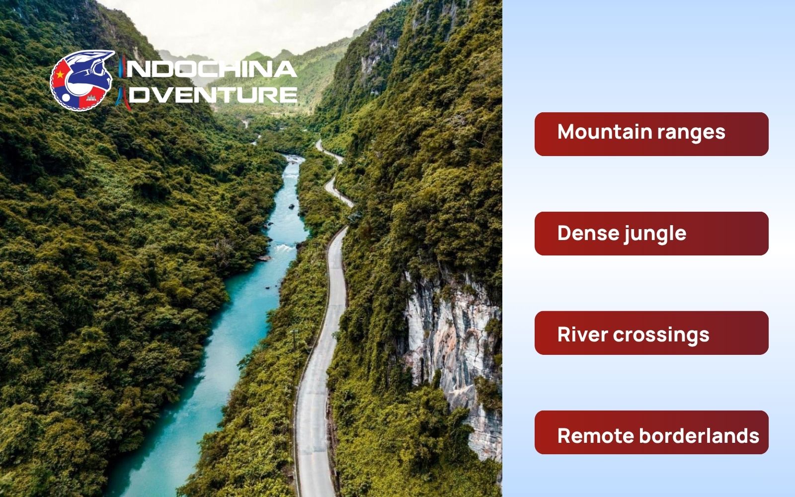
Mountains, jungles, rivers define rugged trail terrain and routes
Instead of one continuous road, the trail consisted of thousands of interlinked paths, including foot trails, truck routes and even pipelines. Over time, some of these routes evolved into what is now known as the Ho Chi Minh Road – an accessible highway that attracts travelers today.
For modern explorers, this geography creates one of the most rewarding routes for Vietnam motorbike tours. Riders can follow sections of the historic path through mountains, national parks and quiet rural regions, experiencing both the natural beauty and the deep historical layers of this legendary route.
How long did it take to travel the Ho Chi Minh Trail?
The time required to traverse this legendary route has changed dramatically over the decades, shifting from a grueling multi-month expedition to an exhilarating multi-day adventure.
- During the War: In the early 1960s, a fit soldier carrying heavy gear on foot would take roughly six months to complete the journey from the North to the battlefields of the South. By the early 1970s, as the network expanded to include better truck roads and fuel pipelines, the travel time for mechanized units was slashed to about three weeks (21 – 23 days).
- For modern travelers: Today, you are not dodging aerial bombardments, but you are tackling some of the most winding mountain passes in Asia. Most riders completing a full cross-country journey typically spend 11 to 14 days on the road.
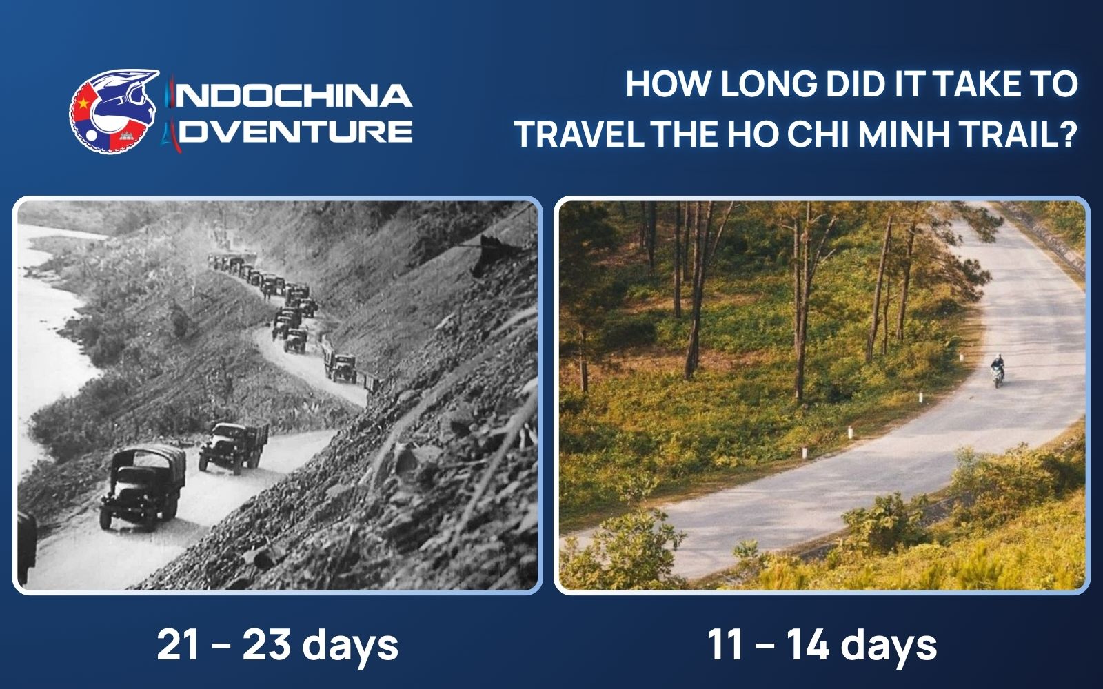
Journey time depended on terrain, weather, and constant route changes
If you’re short on time, you don’t have to ride the entire length to feel the spirit of the trail. Many riders opt for a focused north Vietnam motorbike tour to explore the dramatic limestone karsts. Alternatively, south Vietnam motorcycle tours often highlight the southern tail of the trail, winding through the coffee plantations of the Central Highlands and the hidden jungle paths leading toward the Mekong Delta.
Contact Indochina Adventure to get your engine started for the ultimate experience!

Best places to visit along the trail
The modern Ho Chi Minh Highway offers a front-row seat to some of the most jaw-dropping landscapes in Southeast Asia. If you want to experience the true ho chi minh Trail distance, make sure these legendary stops are on your radar:
- Ban Gioc Waterfall: While located in the far North, this massive waterfall represents the rugged frontier spirit of the trail’s supply network. It is a signature highlight of our northern expeditions.
- Phong Nha-Ke Bang National Park: This is the heart of the action. The karst mountains here provided perfect cover for hidden hospitals and storage depots. Today, it stands as a UNESCO World Heritage site.
- Khe Sanh Combat Base: History buffs will find this site chilling. It sits near the 17th parallel and served as a pivotal point where the trail bypassed the DMZ into Laos.
- Hoi An Ancient Town: After days in the mountains, this UNESCO port provides a perfect cultural contrast. Historically, areas surrounding Hoi An served as vital corridors for moving supplies toward the coast.
- Dak Glei & Kon Tum: These areas in the Central Highlands offer a raw look at the trail through tribal villages and vast coffee plantations, making them a standout highlight in many central Vietnam motorbike tours.
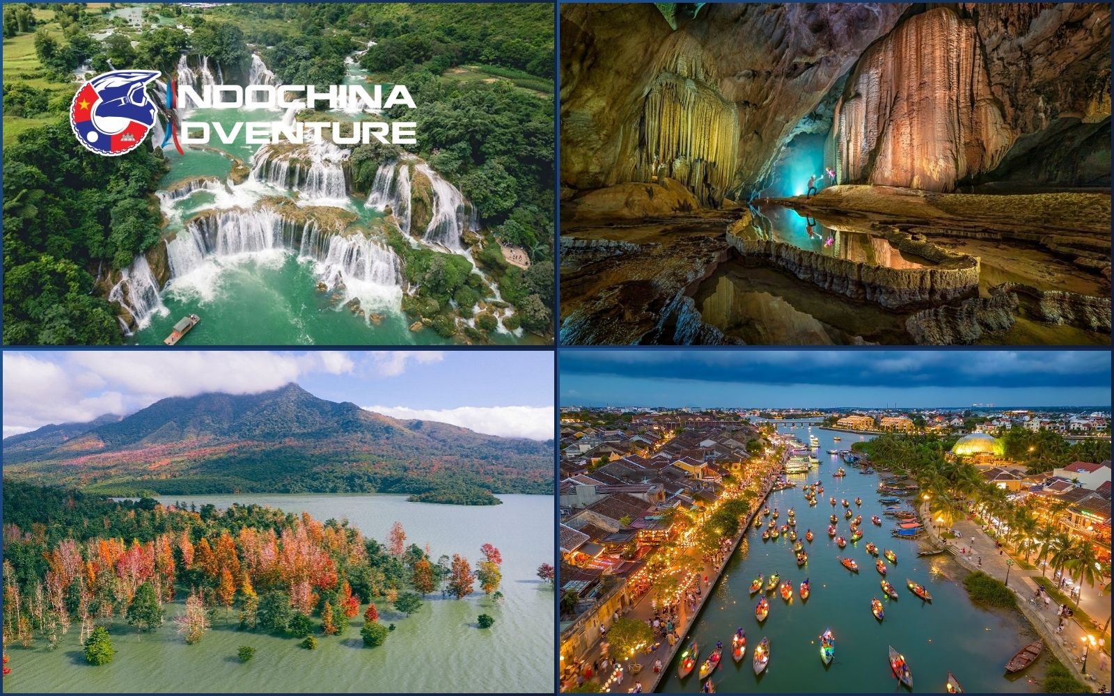
Scenic highlights along trail showcase Vietnam’s diverse landscapes and culture
Exploring the trail independently can be challenging due to remote roads and limited local knowledge. That’s where Indochina Adventure stands out.
- Carefully designed routes following the most scenic and meaningful sections
- Experienced local guides who understand terrain, history, and culture
- Support vehicles and logistics for a safer, smoother journey
If you want to experience the right way, join a motorbike tour with Indochina Adventure. Ride through legendary routes, discover hidden gems, and enjoy the freedom of the open road without the stress of planning everything yourself.

Ride iconic routes with Indochina Adventure for thrilling motorbike experiences
Suggested tours:
- Ho Chi Minh Trail Dirtbike Tour 12 Days: The HMC Trail from Hanoi to Saigon
- Ho Chi Minh Trail Motorbike Tour 5 Days: A Luoi – Khe Sanh – Hue Adventure
- Vietnam Crossing Country Motorbike Tour From Saigon to Hanoi 15 Days
Can tourists travel the Ho Chi Minh Trail?
Yes. Tourists can travel the Ho Chi Minh Trail today, but not in its original wartime form. Most journeys follow the modern Ho Chi Minh Road, which traces much of the historic route and makes it accessible for adventure travel.
How can you explore it?
- Motorbike tours: The most popular and immersive option, offering flexibility and direct contact with the landscape
- Self-guided rides: Suitable for experienced riders who want full independence
- Private car tours: A more comfortable choice for those who prefer not to ride
- Guided adventure tours: Ideal for combining safety, local insight and well-planned routes
Many travelers ask “How long is the Ho Chi Minh Trail in km?” when planning their fuel stops, and the answer highlights just how remote this journey can get. The dangers are not just about the distance; they include:
- Narrow mountain roads with sharp curves
- Sudden weather changes, especially in remote areas
- Limited services in rural regions
- Long riding distances between stops
Because of these unique challenges, you need more than just a map to survive and thrive on this road.
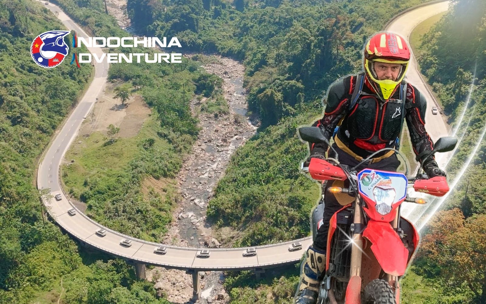
Curious how long is the Ho Chi Minh Trail for modern travelers
Travel tips for exploring the Ho Chi Minh Trail
Beside understanding “How long is the Ho Chi Minh Trail?”,making the journey truly memorable depends on smart planning and the right approach. Here are essential tips to help you explore it safely and fully:
- Best time to go: Travel between March – May or September – November for dry weather, clear skies, and more comfortable riding conditions
- Tour or self-guided: Guided motorbike tours offer local expertise, route planning, and safety support. Meanwhile, independent travel suits experienced riders who are confident with navigation and long-distance riding
- Road and weather awareness: Expect winding mountain roads, fog in high passes, and sudden rain, especially in central regions
- Safety first: Wear proper protective gear, avoid riding at night, and always check your bike before long stretches
- Fuel and supplies: Remote sections may have limited services, so refuel early and carry water and basic essentials
- Respect local culture: Many areas are home to ethnic minority communities, dress appropriately and ask before taking photos
- Plan flexible itineraries: Distances may look short on the map, but travel time can be longer due to terrain
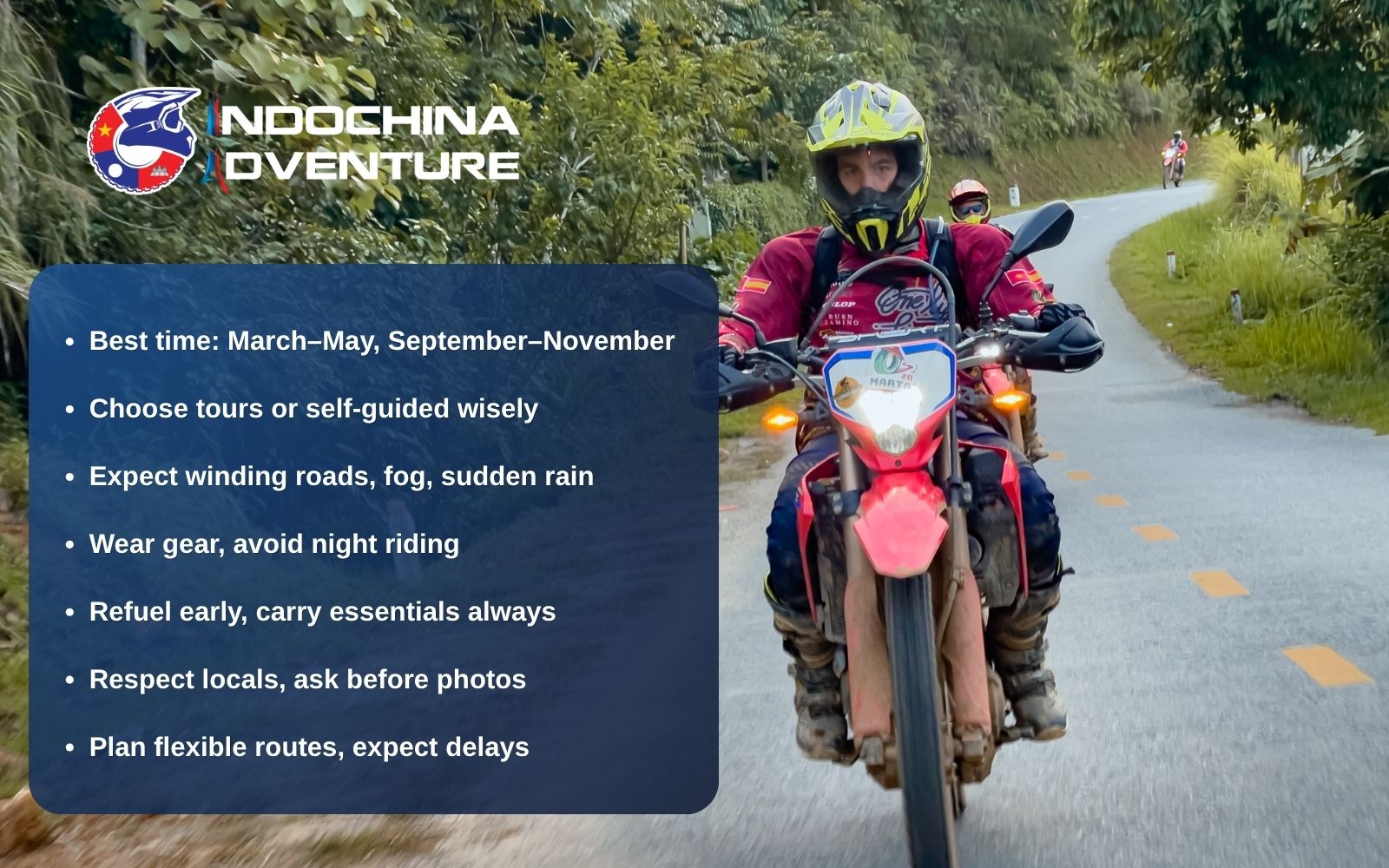
Essential tips help you explore safely and confidently on this route
The answer to how long is the Ho Chi Minh Trail depends on whether you measure it by its 20,000 kilometers of historical complexity or the 2,000 kilometers of breathtaking mountain highway that remains today. It is a journey that transcends simple distance, offering a rare window into the resilience of the human spirit and the raw, untamed beauty of Southeast Asia. If you are ready to conquer the legendary trail and write your own chapter of history? Contact Indochina Adventure today to book your spot on our next expedition and experience the trail like a true explorer!


Latest posts
Bigbike vs Dirtbike Tours in Vietnam: Which One Should You Book?
 Date: 12/09/2026
Laos Motorbike Tour: The Best Routes Through North and South Laos
Date: 10/09/2026

Do You Need a Motorbike License to Ride in Vietnam as a Foreigner?
Date: 01/08/2026
Maybe You Don’t Know
Ninh Binh by Motorbike: Tam Coc, Trang An and the Roads Most People Miss
A Ninh Binh motorbike tour guide: the Tam Coc and Trang An loop, the quiet…
Date: 14/09/2026

Bigbike vs Dirtbike Tours in Vietnam: Which One Should You Book?
Bigbike vs dirtbike tour Vietnam: an honest comparison of terrain, riding demand, comfort and cost…
Date: 12/09/2026
Laos Motorbike Tour: The Best Routes Through North and South Laos
A Laos motorbike tour guide covering the northern mountain loops and the southern Thakhek and…
Date: 10/09/2026

South-North Vietnam Offroad Motorbike Tour: Riding HCM City to Hanoi The Hard Way
Planning a Vietnam offroad motorbike tour from HCM City to Hanoi? Route breakdown, daily distances,…
Date: 08/09/2026
Do You Need a Motorbike License to Ride in Vietnam as a Foreigner?
Do you need a motorbike license to ride in Vietnam as a foreigner? The honest…
Date: 01/08/2026

Ha Giang Loop Guided Tour vs Self Ride: Which Option Is Right for You?
Comparing a Ha Giang Loop guided tour vs self ride? Explore the pros, cons, real…
Date: 28/07/2026